
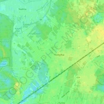
Kobyłka topographic map
Interactive map
Click on the map to display elevation.
About this map
Name: Kobyłka topographic map, elevation, terrain.
Location: Kobyłka, Wołomin County, Masovian Voivodeship, Poland (52.31369 21.15537 52.36636 21.24218)
Average elevation: 93 m
Minimum elevation: 84 m
Maximum elevation: 102 m