
El Centro topographic map
Interactive map
Click on the map to display elevation.
About this map
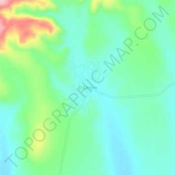
Name: El Centro topographic map, elevation, terrain.
Location: El Centro, Fresnillo, Zacatecas, México (23.36646 -103.32442 23.40646 -103.28442)
Average elevation: 2,244 m
Minimum elevation: 2,190 m
Maximum elevation: 2,395 m