
Perunad topographic map
Click on the map to display elevation.
About this map
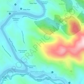
Name: Perunad topographic map, elevation, terrain.
Location: Perunad, Ranni, Pathanamthitta, Kerala, 689711, India (9.36643 76.84223 9.38861 76.86200)
Average elevation: 101 m
Minimum elevation: 11 m
Maximum elevation: 327 m