
Thank you for supporting this site ❤️
Make a donation
Make a donation
Wittenberg topographic map
Click on the map to display elevation.
Thank you for supporting this site ❤️
Make a donation
Make a donation
About this map
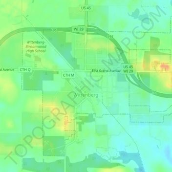
Name: Wittenberg topographic map, elevation, terrain.
Location: Wittenberg, Shawano County, Wisconsin, 54477, United States (44.81235 -89.18388 44.83580 -89.14322)
Average elevation: 359 m
Minimum elevation: 345 m
Maximum elevation: 383 m
Thank you for supporting this site ❤️
Make a donation
Make a donation
Other topographic maps
Click on a map to view its topography, its elevation and its terrain.