
Fehndorf topographic map
Interactive map
Click on the map to display elevation.
About this map
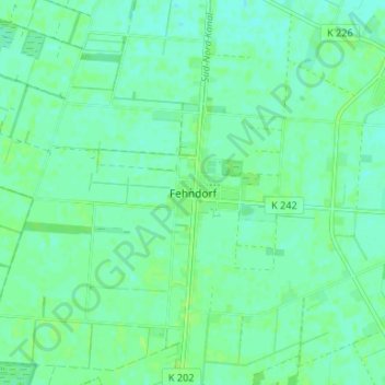
Name: Fehndorf topographic map, elevation, terrain.
Location: Fehndorf, Haren (Ems), Landkreis Emsland, Nedersaksen, Duitsland (52.75986 7.08704 52.79986 7.12704)
Average elevation: 16 m
Minimum elevation: 12 m
Maximum elevation: 20 m
Other topographic maps
Click on a map to view its topography, its elevation and its terrain.
Meerberg
Duitsland > Nedersaksen > Landkreis Emsland > Haren (Ems)
Meerberg, Haren (Ems), Landkreis Emsland, Nedersaksen, 49733, Duitsland
Average elevation: 10 m
Haar
Duitsland > Nedersaksen > Landkreis Emsland > Haren (Ems)
Haar, Haren (Ems), Landkreis Emsland, Nedersaksen, Duitsland
Average elevation: 15 m