
Thank you for supporting this site ❤️
Make a donation
Make a donation
Mantee topographic map
Click on the map to display elevation.
Thank you for supporting this site ❤️
Make a donation
Make a donation
About this map
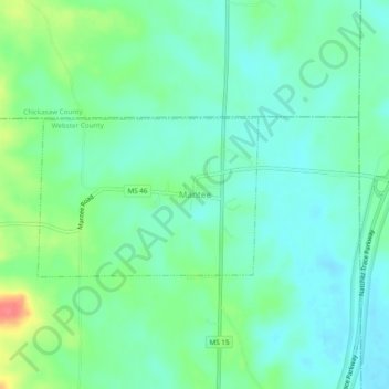
Name: Mantee topographic map, elevation, terrain.
Location: Mantee, Webster County, Mississippi, 39751, United States (33.71151 -89.07534 33.75151 -89.03534)
Average elevation: 104 m
Minimum elevation: 85 m
Maximum elevation: 152 m
Thank you for supporting this site ❤️
Make a donation
Make a donation