
Thank you for supporting this site ❤️
Make a donation
Make a donation
Poto topographic map
Click on the map to display elevation.
Thank you for supporting this site ❤️
Make a donation
Make a donation
About this map
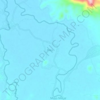
Name: Poto topographic map, elevation, terrain.
Location: Poto, Sumbawa, Nusa Tenggara Barat, 143214, Indonésia (-8.50821 117.47673 -8.46821 117.51673)
Average elevation: 18 m
Minimum elevation: 6 m
Maximum elevation: 234 m
Thank you for supporting this site ❤️
Make a donation
Make a donation