
Bruit Island topographic map
Interactive map
Click on the map to display elevation.
About this map
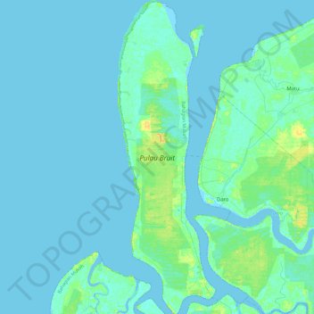
Name: Bruit Island topographic map, elevation, terrain.
Location: Bruit Island, Sarikei, Sarawak, Malaysia (2.34716 111.28257 2.80194 111.42265)
Average elevation: 3 m
Minimum elevation: -3 m
Maximum elevation: 20 m