
Thank you for supporting this site ❤️
Make a donation
Make a donation
Nazeing topographic map
Click on the map to display elevation.
Thank you for supporting this site ❤️
Make a donation
Make a donation
About this map
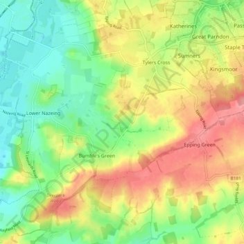
Name: Nazeing topographic map, elevation, terrain.
Location: Nazeing, Epping Forest, Essex, England, United Kingdom (51.71369 -0.01415 51.75389 0.07943)
Average elevation: 62 m
Minimum elevation: 20 m
Maximum elevation: 114 m
Thank you for supporting this site ❤️
Make a donation
Make a donation
Other topographic maps
Click on a map to view its topography, its elevation and its terrain.