
Thank you for supporting this site ❤️
Make a donation
Make a donation
Oelsig topographic map
Click on the map to display elevation.
Thank you for supporting this site ❤️
Make a donation
Make a donation
About this map
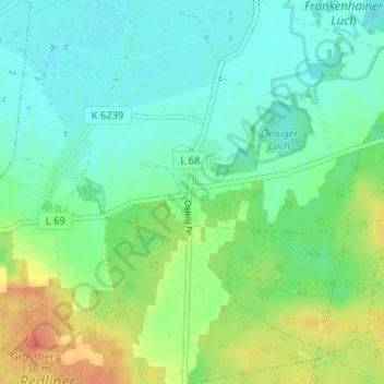
Name: Oelsig topographic map, elevation, terrain.
Location: Oelsig, Schlieben, Elbe-Elster, Brandenburg, Deutschland (51.66361 13.35419 51.70361 13.39419)
Average elevation: 97 m
Minimum elevation: 81 m
Maximum elevation: 129 m
Thank you for supporting this site ❤️
Make a donation
Make a donation