
Bukit Bakri topographic map
Interactive map
Click on the map to display elevation.
About this map
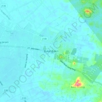
Name: Bukit Bakri topographic map, elevation, terrain.
Location: Bukit Bakri, Muar, Johor, 84200, Malaysia (2.00249 102.61396 2.08249 102.69396)
Average elevation: 14 m
Minimum elevation: 2 m
Maximum elevation: 120 m
Other topographic maps
Click on a map to view its topography, its elevation and its terrain.
Bukit Nyior Tunggal
Malaysia > Johor > Bukit Bakri
Bukit Nyior Tunggal, Bukit Bakri, Muar, Johor, 84200, Malaysia
Average elevation: 23 m