
San José de Suaita topographic map
Interactive map
Click on the map to display elevation.
About this map
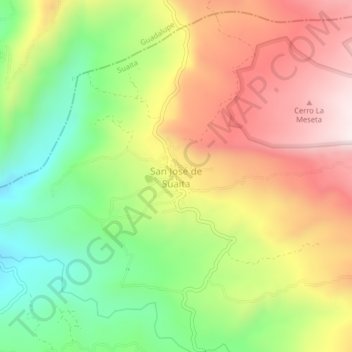
Name: San José de Suaita topographic map, elevation, terrain.
Location: San José de Suaita, Suaita, Comunera, Santander, Colombia (6.13820 -73.46853 6.17820 -73.42853)
Average elevation: 1,387 m
Minimum elevation: 1,065 m
Maximum elevation: 1,732 m
Other topographic maps
Click on a map to view its topography, its elevation and its terrain.