
Thank you for supporting this site ❤️
Make a donation
Make a donation
Gandul topographic map
Click on the map to display elevation.
Thank you for supporting this site ❤️
Make a donation
Make a donation
About this map
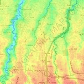
Name: Gandul topographic map, elevation, terrain.
Location: Gandul, Java occidental, 16512, Indonésie (-6.36862 106.76689 -6.32862 106.80689)
Average elevation: 62 m
Minimum elevation: 32 m
Maximum elevation: 79 m
Thank you for supporting this site ❤️
Make a donation
Make a donation