
Congoberg topographic map
Interactive map
Click on the map to display elevation.
About this map
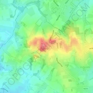
Name: Congoberg topographic map, elevation, terrain.
Location: Congoberg, Gammerages, Hal-Vilvorde, Flandre, 1570, Belgique (50.76675 4.00706 50.76685 4.00716)
Average elevation: 53 m
Minimum elevation: 26 m
Maximum elevation: 105 m