
Vroomshoop topographic map
Interactive map
Click on the map to display elevation.
About this map
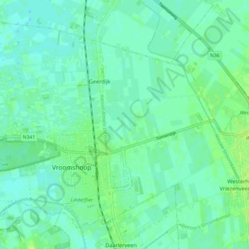
Name: Vroomshoop topographic map, elevation, terrain.
Location: Vroomshoop, Twenterand, Overijssel, Nederland (52.44576 6.53433 52.48898 6.61994)
Average elevation: 9 m
Minimum elevation: 4 m
Maximum elevation: 16 m
Other topographic maps
Click on a map to view its topography, its elevation and its terrain.
Engbertsdijksvenen
Nederland > Overijssel > Twenterand
Engbertsdijksvenen, Paterswal, Sibculo, Twenterand, Overijssel, Nederland, 7693TC, Nederland
Average elevation: 14 m