Unthank Wood End topographic map
Interactive map
Click on the map to display elevation.
About this map
Name: Unthank Wood End topographic map, elevation, terrain.
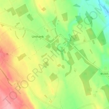
Average elevation: 186 m
Minimum elevation: 133 m
Maximum elevation: 247 m

Click on the map to display elevation.
Name: Unthank Wood End topographic map, elevation, terrain.
Average elevation: 186 m
Minimum elevation: 133 m
Maximum elevation: 247 m