
Libertadores topographic map
Interactive map
Click on the map to display elevation.
About this map
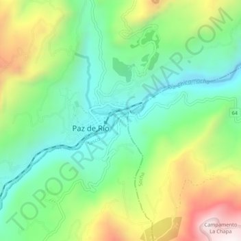
Name: Libertadores topographic map, elevation, terrain.
Location: Libertadores, Tasco, Valderrama, Boyacá, 151640, Colombia (5.96652 -72.76414 6.00652 -72.72414)
Average elevation: 2,473 m
Minimum elevation: 2,150 m
Maximum elevation: 3,062 m