
District de Xinhui topographic map
Interactive map
Click on the map to display elevation.
About this map
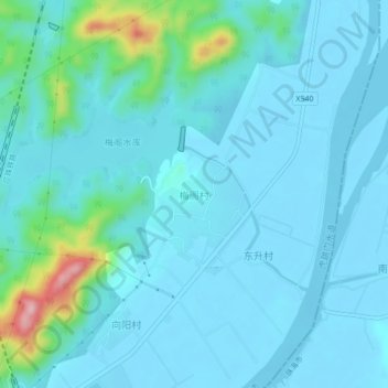
Name: District de Xinhui topographic map, elevation, terrain.
Location: District de Xinhui, 梅阁村, Jiangmen, Guangdong, Chine (22.23538 113.13042 22.27538 113.17042)
Average elevation: 27 m
Minimum elevation: -7 m
Maximum elevation: 212 m