
Gortmessan topographic map
Interactive map
Click on the map to display elevation.
About this map
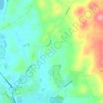
Name: Gortmessan topographic map, elevation, terrain.
Average elevation: 85 m
Minimum elevation: 45 m
Maximum elevation: 166 m
Other topographic maps
Click on a map to view its topography, its elevation and its terrain.
Derryvore
Royaume-Uni > Irlande du Nord > Enniskillen
Derryvore, Enniskillen ED, Enniskillen, County Fermanagh, Irlande du Nord, Royaume-Uni
Average elevation: 54 m
Lackaghboy
Royaume-Uni > Irlande du Nord > Enniskillen
Lackaghboy, Ballydoolagh ED, Enniskillen, County Fermanagh, Irlande du Nord, BT74 4RL, Royaume-Uni
Average elevation: 76 m