
Ain Sandel topographic map
Interactive map
Click on the map to display elevation.
About this map
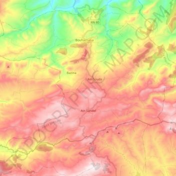
Name: Ain Sandel topographic map, elevation, terrain.
Location: Ain Sandel, Daïra Khezara, Guelma, RADP (36.20390 7.42036 36.32233 7.61667)
Average elevation: 927 m
Minimum elevation: 406 m
Maximum elevation: 1,346 m