
Sliedrecht topographic map
Interactive map
Click on the map to display elevation.
About this map
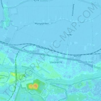
Name: Sliedrecht topographic map, elevation, terrain.
Location: Sliedrecht, Zuid-Holland, Nederland (51.81513 4.72964 51.84664 4.81142)
Average elevation: 1 m
Minimum elevation: -5 m
Maximum elevation: 26 m