
Standish topographic map
Interactive map
Click on the map to display elevation.
About this map
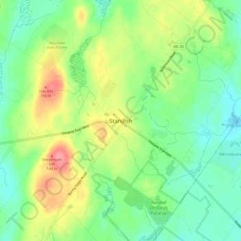
Name: Standish topographic map, elevation, terrain.
Location: Standish, Cumberland County, Maine, 04084, USA (43.71588 -70.57145 43.75588 -70.53145)
Average elevation: 112 m
Minimum elevation: 77 m
Maximum elevation: 163 m