
Thank you for supporting this site ❤️
Make a donation
Make a donation
Doongri topographic map
Click on the map to display elevation.
Thank you for supporting this site ❤️
Make a donation
Make a donation
About this map
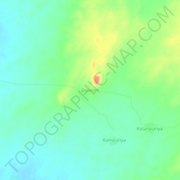
Name: Doongri topographic map, elevation, terrain.
Location: Doongri, Raniwara Tehsil, Sanchore, Rajasthan, 343039, India (24.72642 72.23410 24.76642 72.27410)
Average elevation: 241 m
Minimum elevation: 219 m
Maximum elevation: 290 m
Thank you for supporting this site ❤️
Make a donation
Make a donation