
Thank you for supporting this site ❤️
Make a donation
Make a donation
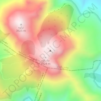
Taftan topographic map
Click on the map to display elevation.
Thank you for supporting this site ❤️
Make a donation
Make a donation
Taftan
Taftan is the highest mountain in southeast Iran. The topography is overall steep. Deep valleys with U and V shapes have developed on Taftan, and the volcano has a strongly eroded appearance. One of these valleys, Tamindan, may be the Damindan valley in the Avesta religious texts. One series of ignimbrites surrounding Taftan which reaches thicknesses of 50 metres (160 ft) and reaches distances of 15 kilometres (9.3 mi) from the edifice may be 2 million years old.
Thank you for supporting this site ❤️
Make a donation
Make a donation
About this map
Name: Taftan topographic map, elevation, terrain.
Average elevation: 3,525 m
Minimum elevation: 3,072 m
Maximum elevation: 3,927 m
Thank you for supporting this site ❤️
Make a donation
Make a donation