
Thank you for supporting this site ❤️
Make a donation
Make a donation
Attur topographic map
Click on the map to display elevation.
Thank you for supporting this site ❤️
Make a donation
Make a donation
About this map
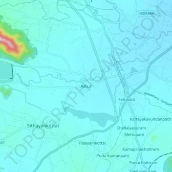
Name: Attur topographic map, elevation, terrain.
Location: Attur, Athoor, Dindigul, Tamil Nadu, 624701, India (10.24777 77.81208 10.32777 77.89208)
Average elevation: 299 m
Minimum elevation: 268 m
Maximum elevation: 713 m
Thank you for supporting this site ❤️
Make a donation
Make a donation
Other topographic maps
Click on a map to view its topography, its elevation and its terrain.