
Thank you for supporting this site ❤️
Make a donation
Make a donation
Llessui topographic map
Click on the map to display elevation.
Thank you for supporting this site ❤️
Make a donation
Make a donation
About this map
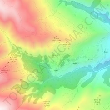
Name: Llessui topographic map, elevation, terrain.
Location: Llessui, Sort, Pallars Sobirá, Lérida, Cataluña, 25567, España (42.43133 1.05309 42.47133 1.09309)
Average elevation: 1,465 m
Minimum elevation: 946 m
Maximum elevation: 2,075 m
Thank you for supporting this site ❤️
Make a donation
Make a donation