
Thank you for supporting this site ❤️
Make a donation
Make a donation
Kyrkhult topographic map
Click on the map to display elevation.
Thank you for supporting this site ❤️
Make a donation
Make a donation
About this map
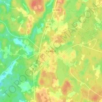
Name: Kyrkhult topographic map, elevation, terrain.
Location: Kyrkhult, Olofströms kommun, Blekinge län, 293 74, Zweden (56.33537 14.56770 56.37537 14.60770)
Average elevation: 133 m
Minimum elevation: 108 m
Maximum elevation: 156 m
Thank you for supporting this site ❤️
Make a donation
Make a donation
Other topographic maps
Click on a map to view its topography, its elevation and its terrain.