
Thank you for supporting this site ❤️
Make a donation
Make a donation
Pajaro Dunes topographic map
Click on the map to display elevation.
Thank you for supporting this site ❤️
Make a donation
Make a donation
About this map
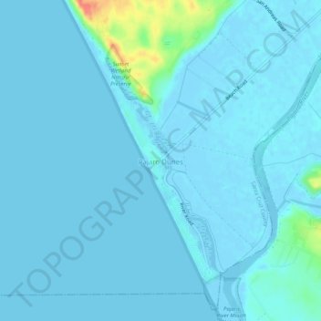
Name: Pajaro Dunes topographic map, elevation, terrain.
Location: Pajaro Dunes, Santa Cruz County, California, United States (36.84739 -121.83832 36.88739 -121.79832)
Average elevation: 4 m
Minimum elevation: -4 m
Maximum elevation: 55 m
Thank you for supporting this site ❤️
Make a donation
Make a donation