
Thank you for supporting this site ❤️
Make a donation
Make a donation
Oberaudorf topographic map
Click on the map to display elevation.
Thank you for supporting this site ❤️
Make a donation
Make a donation
About this map
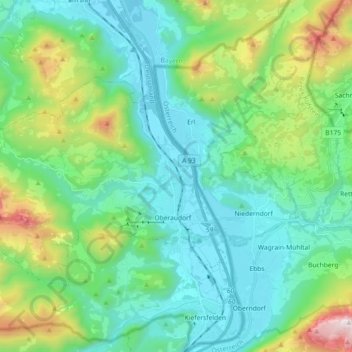
Name: Oberaudorf topographic map, elevation, terrain.
Location: Oberaudorf, Landkreis Rosenheim, Бавария, 83080, Германия (47.62456 12.02031 47.70137 12.20181)
Average elevation: 792 m
Minimum elevation: 453 m
Maximum elevation: 1,903 m
Thank you for supporting this site ❤️
Make a donation
Make a donation