
Thank you for supporting this site ❤️
Make a donation
Make a donation
Lindsey topographic map
Click on the map to display elevation.
Thank you for supporting this site ❤️
Make a donation
Make a donation
About this map
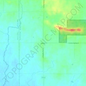
Name: Lindsey topographic map, elevation, terrain.
Location: Lindsey, Town of Rock, Wood County, Wisconsin, United States (44.53580 -90.32013 44.57580 -90.28013)
Average elevation: 349 m
Minimum elevation: 335 m
Maximum elevation: 391 m
Thank you for supporting this site ❤️
Make a donation
Make a donation