
Gunda topographic map
Click on the map to display elevation.
About this map
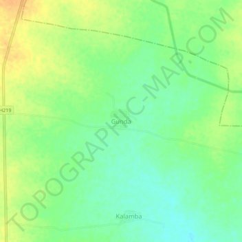
Name: Gunda topographic map, elevation, terrain.
Location: Gunda, Basmath, Hingoli, Maharashtra, India (19.39139 76.97602 19.43139 77.01602)
Average elevation: 403 m
Minimum elevation: 388 m
Maximum elevation: 419 m
Other topographic maps
Click on a map to view its topography, its elevation and its terrain.