
Lasara topographic map
Click on the map to display elevation.
About this map
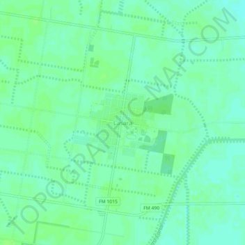
Name: Lasara topographic map, elevation, terrain.
Location: Lasara, Willacy County, Texas, 78561, United States (26.44479 -97.93111 26.48479 -97.89111)
Average elevation: 15 m
Minimum elevation: 10 m
Maximum elevation: 18 m
Other topographic maps
Click on a map to view its topography, its elevation and its terrain.