
Thank you for supporting this site ❤️
Make a donation
Make a donation
Trat topographic map
Click on the map to display elevation.
Thank you for supporting this site ❤️
Make a donation
Make a donation
About this map
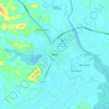
Name: Trat topographic map, elevation, terrain.
Location: Trat, Nong Samet, Mueang Trat, Trat Province, Thailand (12.20406 102.47228 12.28406 102.55228)
Average elevation: 6 m
Minimum elevation: -1 m
Maximum elevation: 43 m
Thank you for supporting this site ❤️
Make a donation
Make a donation