
Castellgalí topographic map
Interactive map
Click on the map to display elevation.
About this map
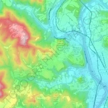
Name: Castellgalí topographic map, elevation, terrain.
Location: Castellgalí, Bages, Barcelona, Catalonië, 08297, Spanje (41.65328 1.81780 41.69328 1.85780)
Average elevation: 242 m
Minimum elevation: 153 m
Maximum elevation: 435 m