
Thank you for supporting this site ❤️
Make a donation
Make a donation
Sanawara topographic map
Click on the map to display elevation.
Thank you for supporting this site ❤️
Make a donation
Make a donation
About this map
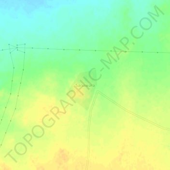
Name: Sanawara topographic map, elevation, terrain.
Location: Sanawara, Pokaran Tehsil, Jaisalmer, Rajasthan, India (26.83003 71.55704 26.87003 71.59704)
Average elevation: 266 m
Minimum elevation: 252 m
Maximum elevation: 277 m
Thank you for supporting this site ❤️
Make a donation
Make a donation
Other topographic maps
Click on a map to view its topography, its elevation and its terrain.
Pokaran
India > Rajasthan > Pokaran Tehsil
Pokhran is located 112 km east of Jaisalmer city, 172 km northwest of Jodhpur and 225 km south of Bikaner by road. It lies on Jaisalmer to Jodhpur railway line. It is situated at 27°05′42″N 71°45′11″E / 27.095°N 71.753°E / 27.095; 71.753 and has an average elevation of 233 metres (764 feet).
Average elevation: 229 m