
Thank you for supporting this site ❤️
Make a donation
Make a donation
Maple Lake topographic map
Click on the map to display elevation.
Thank you for supporting this site ❤️
Make a donation
Make a donation
About this map
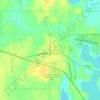
Name: Maple Lake topographic map, elevation, terrain.
Location: Maple Lake, Wright County, Minnesota, United States (45.22078 -94.02465 45.24582 -93.97937)
Average elevation: 314 m
Minimum elevation: 301 m
Maximum elevation: 329 m
Thank you for supporting this site ❤️
Make a donation
Make a donation