
Thank you for supporting this site ❤️
Make a donation
Make a donation
Hayatabad topographic map
Click on the map to display elevation.
Thank you for supporting this site ❤️
Make a donation
Make a donation
About this map
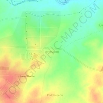
Name: Hayatabad topographic map, elevation, terrain.
Location: Hayatabad, Shabad mandal, Ranga Reddy, Telangana, India (17.20413 78.17939 17.24413 78.21939)
Average elevation: 585 m
Minimum elevation: 559 m
Maximum elevation: 611 m
Thank you for supporting this site ❤️
Make a donation
Make a donation