
Benito Juarez (El Cinco) topographic map
Interactive map
Click on the map to display elevation.
About this map
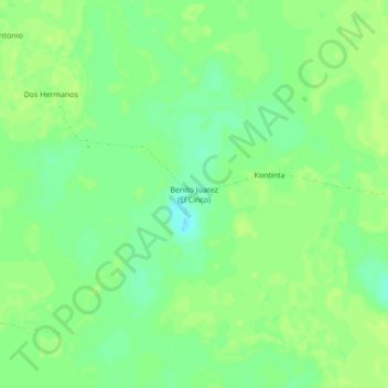
Name: Benito Juarez (El Cinco) topographic map, elevation, terrain.
Location: Benito Juarez (El Cinco), Tizimín, Yucatán, México (21.06083 -87.64000 21.10083 -87.60000)
Average elevation: 12 m
Minimum elevation: 3 m
Maximum elevation: 16 m
Other topographic maps
Click on a map to view its topography, its elevation and its terrain.
Mesura El Cuyo
Mesura El Cuyo, Tizimín, Yucatán, México
Average elevation: 5 m