
Thank you for supporting this site ❤️
Make a donation
Make a donation
Strand Nulde Noord topographic map
Click on the map to display elevation.
Thank you for supporting this site ❤️
Make a donation
Make a donation
About this map
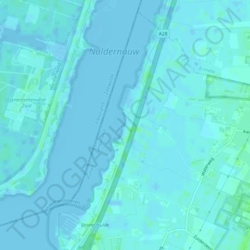
Name: Strand Nulde Noord topographic map, elevation, terrain.
Location: Strand Nulde Noord, Putten, Gelderland, Nederland (52.27946 5.54199 52.28257 5.54340)
Average elevation: 1 m
Minimum elevation: -3 m
Maximum elevation: 8 m
Thank you for supporting this site ❤️
Make a donation
Make a donation
Other topographic maps
Click on a map to view its topography, its elevation and its terrain.