
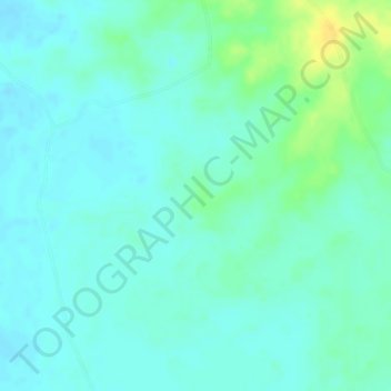
Cordoba topographic map
Interactive map
Click on the map to display elevation.
About this map
Name: Cordoba topographic map, elevation, terrain.
Location: Cordoba, GARRAPATA, Magdalena, Colombia (10.32509 -74.46980 10.34509 -74.44980)
Average elevation: 60 m
Minimum elevation: 52 m
Maximum elevation: 79 m