
Langreo topographic map
Interactive map
Click on the map to display elevation.
About this map
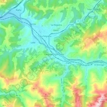
Name: Langreo topographic map, elevation, terrain.
Location: Langreo, Asturias, 33900, España (43.25554 -5.72397 43.33554 -5.64397)
Average elevation: 380 m
Minimum elevation: 179 m
Maximum elevation: 862 m