
Thank you for supporting this site ❤️
Make a donation
Make a donation
Schloss Montabaur topographic map
Click on the map to display elevation.
Thank you for supporting this site ❤️
Make a donation
Make a donation
Schloss Montabaur
Das barocke Schloss Montabaur ist das Wahrzeichen der Stadt Montabaur im Westerwald. Es steht weithin sichtbar in der Stadtmitte auf dem Schlossberg auf einer Höhe von 321 Metern über NN und dient heute als Schulungs- und Tagungszentrum der Akademie Deutscher Genossenschaften.
Thank you for supporting this site ❤️
Make a donation
Make a donation
About this map
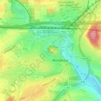
Name: Schloss Montabaur topographic map, elevation, terrain.
Average elevation: 248 m
Minimum elevation: 200 m
Maximum elevation: 311 m
Thank you for supporting this site ❤️
Make a donation
Make a donation