
Thank you for supporting this site ❤️
Make a donation
Make a donation
Chamampathal topographic map
Click on the map to display elevation.
Thank you for supporting this site ❤️
Make a donation
Make a donation
About this map
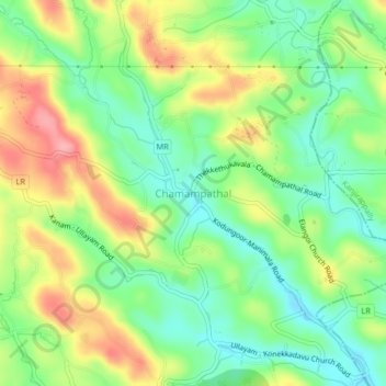
Name: Chamampathal topographic map, elevation, terrain.
Location: Chamampathal, Changanassery, Kottayam, Kerala, 686517, India (9.51755 76.70120 9.55755 76.74120)
Average elevation: 73 m
Minimum elevation: 26 m
Maximum elevation: 140 m
Thank you for supporting this site ❤️
Make a donation
Make a donation
Other topographic maps
Click on a map to view its topography, its elevation and its terrain.