
Thank you for supporting this site ❤️
Make a donation
Make a donation
Bullenhausen topographic map
Click on the map to display elevation.
Thank you for supporting this site ❤️
Make a donation
Make a donation
About this map
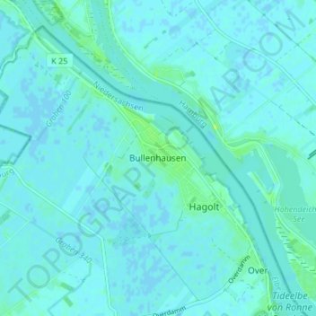
Name: Bullenhausen topographic map, elevation, terrain.
Location: Bullenhausen, Seevetal, Harburg, Lower Saxony, Germany (53.42717 10.05613 53.46717 10.09613)
Average elevation: 2 m
Minimum elevation: -2 m
Maximum elevation: 13 m
Thank you for supporting this site ❤️
Make a donation
Make a donation