
Thank you for supporting this site ❤️
Make a donation
Make a donation
Paris topographic map
Click on the map to display elevation.
Thank you for supporting this site ❤️
Make a donation
Make a donation
About this map
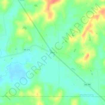
Name: Paris topographic map, elevation, terrain.
Location: Paris, Lafayette County, Mississippi, 38949, United States (34.15872 -89.47980 34.19872 -89.43980)
Average elevation: 121 m
Minimum elevation: 100 m
Maximum elevation: 162 m
Thank you for supporting this site ❤️
Make a donation
Make a donation
Other topographic maps
Click on a map to view its topography, its elevation and its terrain.