
Candás topographic map
Interactive map
Click on the map to display elevation.
About this map
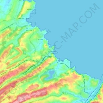
Name: Candás topographic map, elevation, terrain.
Location: Candás, Asturias, 33430, España (43.55003 -5.80418 43.63003 -5.72418)
Average elevation: 38 m
Minimum elevation: -11 m
Maximum elevation: 158 m