
Thank you for supporting this site ❤️
Make a donation
Make a donation
Exton topographic map
Click on the map to display elevation.
Thank you for supporting this site ❤️
Make a donation
Make a donation
About this map
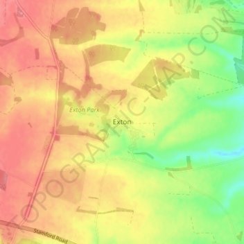
Name: Exton topographic map, elevation, terrain.
Location: Exton, Rutland, England, LE15 8AZ, United Kingdom (52.67102 -0.65127 52.71102 -0.61127)
Average elevation: 113 m
Minimum elevation: 71 m
Maximum elevation: 142 m
Thank you for supporting this site ❤️
Make a donation
Make a donation
Other topographic maps
Click on a map to view its topography, its elevation and its terrain.