
Neelkanth topographic map
Interactive map
Click on the map to display elevation.
About this map
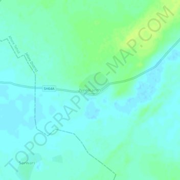
Name: Neelkanth topographic map, elevation, terrain.
Location: Neelkanth, Ahore Tehsil, Jalore District, Rajasthan, India (25.63299 72.69194 25.67299 72.73194)
Average elevation: 146 m
Minimum elevation: 141 m
Maximum elevation: 155 m