
Tangkuban Parahu topographic map
Interactive map
Click on the map to display elevation.
About this map
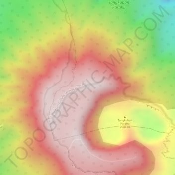
Name: Tangkuban Parahu topographic map, elevation, terrain.
Location: Tangkuban Parahu, Cimahi, Java occidental, 40551, Indonésie (-6.75327 107.60585 -6.75317 107.60595)
Average elevation: 1,841 m
Minimum elevation: 1,429 m
Maximum elevation: 2,069 m