
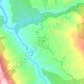
Navalvillar de Ibor topographic map
Interactive map
Click on the map to display elevation.
About this map
Name: Navalvillar de Ibor topographic map, elevation, terrain.
Location: Navalvillar de Ibor, Cáceres, Estrémadure, 10341, Espagne (39.58083 -5.41604 39.58722 -5.40938)
Average elevation: 684 m
Minimum elevation: 518 m
Maximum elevation: 1,011 m